Showing posts with label marnhull. Show all posts

Sunday, March 28, 2021

Hardy and Marlott

Date:             18th March 2021

Destination:  Marnhull 

Duration:     4 hours

Distance:      22.9 miles

Weather:      10 °C Partly Cloudy 


With much better weather forecast today's route was one I had originally planned to cycle the previous week but had postponed because of poor weather conditions.  Marlott (Marnhull) is referred to in Thomas Hardy's novel Tess of the D'Urbervilles, as is the Pure Drop Inn, (The Crown) and Rollivers (The Blackmore Vale Inn). These were our main destinations today.

Heading east from Templecombe towards Buckhorn Weston we paused briefly on Gigg Lane Railway Bridge to listen to and watch a murder of crows squawking noisily to each other.

Crows nests adjacent to Gigg Lane Railway Bridge

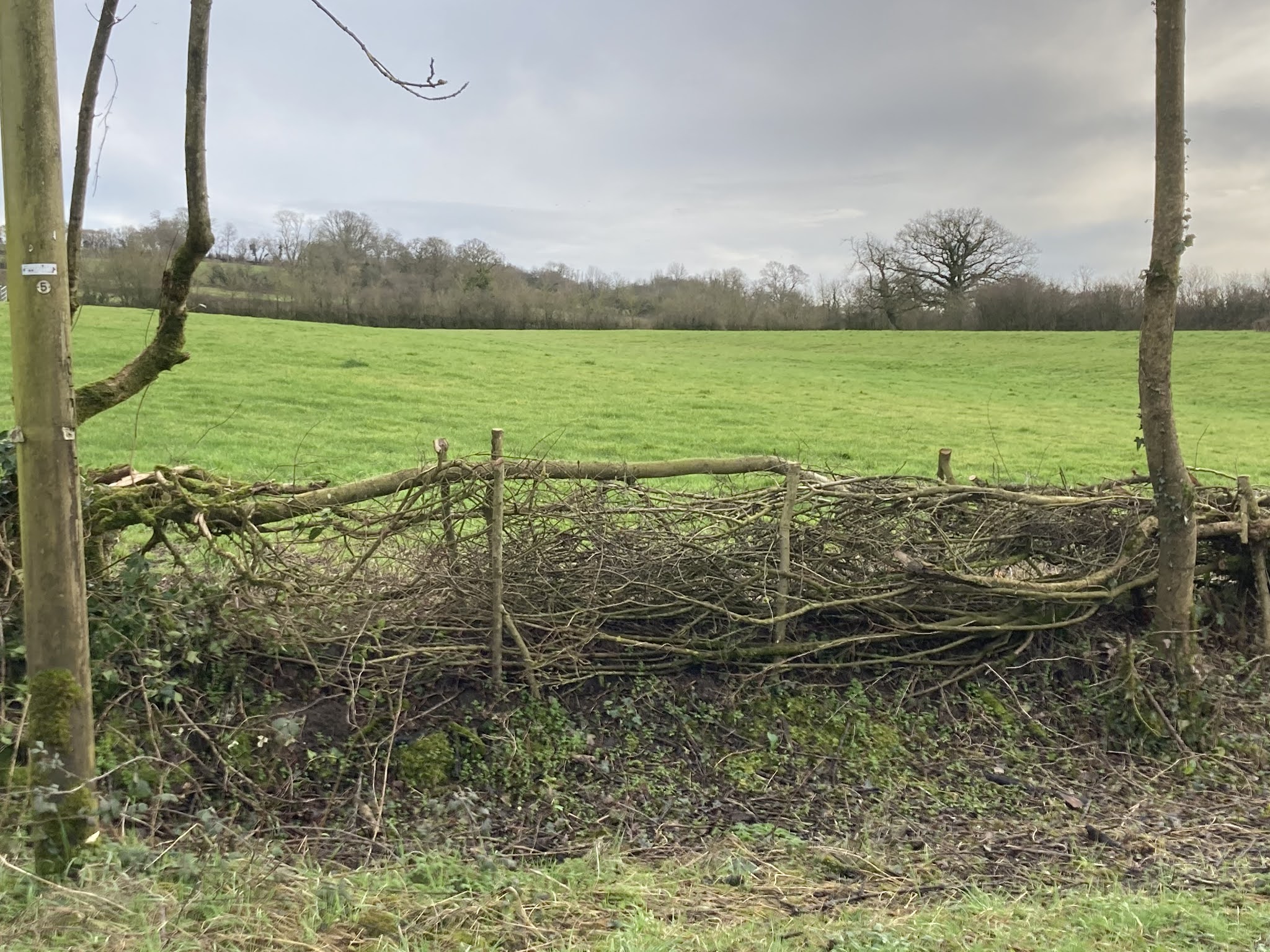
From Kington Magna there are three roads from the vale up to the ridge, Barton Hill, Church Hill and Chapel Hill.  The latter was our chosen route today.  Half way up I  spotted a couple of beacons which I thought may have been used in 2012, a year that saw the UK celebrate  the Queen's Diamond Jubilee and host the London Olympics. We stopped by a dilapidated gate to take a closer look, only to discover to my disappointment that they were phone masts.  The masts are only just visible in the background of the following photo.


Chapel Hill, Kington Magna

At the top of Chapel Hill we turned right and then made our way south across the A30 to Fifehead Magdalene, where we made a very short detour to sit atop a wall at St Mary Magdalene Church for a break.


St Mary Magdalene Church,  Fifehead Magdalen

After eating our fruit we wandered around the graveyard and discovered a lovely view east towards  Duncliffe Woods.


Duncliffe Woods from St Mary Magdalene Church

Back on our bikes we cycled down Fifehead Hill for the very first time.  We have cycled up this hill often (or should I say cycled and walked) but never in the opposite direction.  This made for a pleasant change.  At the bottom of the hill we turned left into Mill Lane, crossing over the River Stour before heading up into Marhull.

River Stour, Mill Lane, Marnhull


On turning left into Burton Street we spotted a "spittoon" of llamas which we felt necessitated closer inspection.  Unfortunately we were unable to get any nearer so abandoned our quest and headed for The Blackmore Vale Inn or Rolliver's as it is referred to in Tess of the D'Urbervilles.


Rolliver's, Marlott


Photos taken we once more set off and now with St Gregory's church spire in sight we pedalled up Church Hill and turned left towards  the Crown Inn.  (The Pure Drop Inn in Tess of the D'Urbervilles.) 


Pure Drop Inn, Marlott


Our next destination was King's Mill south west of Marnhull.  We turned round and cycled along New Street towards Cox Hill and a very fast descent which saw me reaching speeds of 30mph.


Cox Hill, Marnhull


At the bottom of Cox Hill, we stopped at  King's Mill, a redundant water powered corn mill. Built in the early 19th Century, it is now a Grade II Listed building, "which retains a good collection of historic machinery, with features and fittings which illustrate the milling process from start to finish." British Listed Buildings - King's Mill


King's Mill, Marnhull

There is much of interest at the bottom of Cox Hill.  Downstream from King's Mill is King's Mill Bridge,  built in 1823 and another Grade II listed building. An inscription on the bridge warns people of the risk of transportation for life if the bridge were to be damaged!  The River Lydden joins the River Stour south of King's Mill Bridge and with the River Cale having joined the Stour a little further up stream this area is prone to flooding.


King's Mill Bridge, Marnhull


Transportation for Life Sign on King's Mill Bridge


River Lydden joining the River Stour, King's Mill

 Having finished looking at all the wonderful sights we cycled over the bridge and up King's Mill Road turning  right into Lower Road  towards Stalbridge, cutting along Jarvis Way to Station Road and then down towards Gibbs Marsh Trading Estate.  

Normally from Landshire Lane we head towards the A30 crossing over to join Park Lane and then onto Yenston.  This week however I wanted to avoid the stretch of main road from Yenston to Templecombe because of the steep hill on the approach to Templecombe.  At the end of a very long ride we both find this hill a struggle and a little dangerous.  The fear is that if one of us were to stop on the ascent we could end up bumping into or under a passing car. 

Instead we continued along Marsh Lane this time taking a left turn towards Henstridge and what a gem this stretch of road turned out to be.  Tucked away behind the main drag, free from industrial estate traffic it was peaceful and pretty.


Marsh Lane, Henstridge


Continuing in our efforts to avoid  approaching Templecombe from the south and aiming instead to arrive from the west we cycled through Henstridge turning right onto the A357 at the Bird in Hand Pub and then left onto the A30. Unfortunately neither of us had anticipated the long hill out of Henstridge which at this late stage in our journey turned out to be rather hard work.

We took the first right into Bowden Road towards Henstridge Bowden.  Another lovely stretch of road, parts of which are on a ridge flanked with mature trees, with views both to the east and west.

As well as avoiding the hill at Yenston there was another reason for arriving at Templecombe from the west,  a wonderful long downhill ride along Bowden Road.  We could coast along and relax in the knowledge that no more effort was required for the remainder of our journey.  

At the end of our longest ride to date JC looked as exhausted as I felt. Culturally and historically, a fascinating ride with wonderful views to boot.


Saturday, January 30, 2021

Wildlife and Floods

22nd January 2021. 


After much rain, Thursday promised to stay dry, as we set off for a leisurely, socially distanced cycle ride across the Blackmore Vale, dressed for the cold weather, with hats, gloves and multiple layers of clothing.  
 
This week the circular route I had planned included Yenston, Marhull, Fifehead Magdalene, Kington Magna, Buckhorn Weston and Templecombe.  As much as possible we try to avoid using main roads, or those with heavy traffic, so to avoid  traffic heading towards Gibbs Marsh Industrial Estate we cut across from Marsh Lane, through Henstridge Airfield and onto Landshire Lane. 

As we cycled along Landshire Lane it was evident that the River Cale had breached its banks and the road was flooded.   Not to be thwarted we pressed on, cycling through the flood.
 

Floods in the Blackmore Vale

With very wet feet we had a brief discussion on where to cycle to next.  We had three options.  Continue East, head back towards the A30 or cycle to Stalbridge.   We ruled out the latter option as it would've meant a much longer route with cold wet feet.   As we were deliberating, a couple of cars/vans stopped to say that they didn’t think we’d get through the next flood around the corner heading East towards Fifehead Magdalene.   A car was stranded in the middle of the flood and we were told the water would reach our knees.  

 It is here that the River Stour briefly comes alongside Landshire Lane.  Amazingly the  Cale and Stour rivers do not meet at this point but a bit further south after the Cale has meandered its way past West Mill Lane, near Stalbridge.  The Stour eventually makes its way to Christchurch and out into the sea.

We thought we’d cycle around the corner to see the extent of the flood for ourselves.  Sure enough there was a car stuck in the middle of the flood and as we looked its hazard lights went out.  Our decision made for us, we retraced our tracks and headed back through the airfield and onto the A30.

Surprisingly the River Cale had also spilled out onto the A30, but fortunately for us it did not cover the whole road.  The central line markings were visible, marking our route through.  We slowly cycled along the middle of the A30 holding traffic up as we did so, until we could safely return to side of the road.  Strangely it was near a bend a little way along the road after the flood that a lorry decided to overtake us.  With another lorry coming the other way I stopped pedalling believing I was going to get cut up.  The lorry coming from the opposite direction also slowed down.  Somehow the overtaking lorry managed to pull back in without any incident!  We turned off the A30 as soon as we could and cycled towards Kington Magna.  

All Saint's Church Kington Magna


Although our feet were cold we thought we could last a while longer so we took ourselves up to All Saint’s Church at Kington Magna, for a much deserved rest, tangerine and drink of water.  There are two benches situated either side of the West facing door overlooking the Vale. (The picture above shows the north facing door)  From this vantage point we could see the recently negotiated flooded A30. 

Feeling rejuvenated we decided to head up onto the ridge and then down Hartmoor Hill to Buckhorn Weston.  This is an exhilarating downhill ride, it's just a shame there is a sharp bend at the bottom to slow you down.  Just after the bend there is a newly laid hedge on the left. 


Newly Laid Hedge, Hartmoor Hill, Buckhorn Weston


The next leg of the journey from Buckhorn Weston to  Templecombe again involved us negotiating flood water from the River Cale and adding to the moisture content of our already wet footwear.

It was along this road that a barn owl flew out in front of us.  We would follow it for a little way then it would disappear before coming back out onto the road again.  This happened three times until it disappeared for the last time near Bow Brook.  An absolutely fabulous experience and our second sighting of a barn owl on our cycling travels.  The first sighting a couple of weeks ago occurred on the road from Wincanton to Buckhorn Weston.  A large barn owl flew over a hedge in front of us and in its talons it held a small creature.  We followed in total awe until it veered off towards some buildings.

As we made our way past Bow Brook we met some mutual friends of ours, out for a walk with their 10 month old dog.  We  stopped for a socially distanced chat and a catch up.  As we departed ways a car driving far too fast  around a corner swerved to avoid us cyclists, ploughed its way through the muddy verge on the other side of the road, before swerving  back onto the road to avoid our friends and their dog. A very close shave and a bit of a dampener (excuse the pun) at the end of an incredibly exhilarating bike ride. 


Map with route marked in black.  Dotted line shows route originally planned.


Purse Caundle and Refurbished Bike

Date:                29th April 2021 Destination: Purse Caundle  and Milborne Port Distance:      15.24 Miles Duration:      3 hours 19 m...